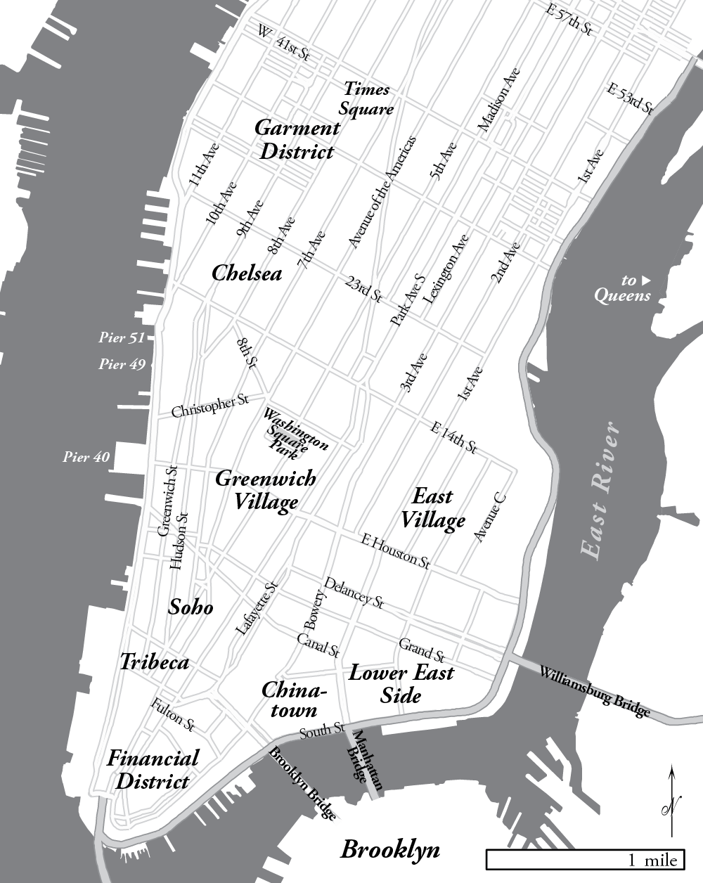
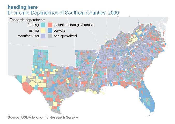
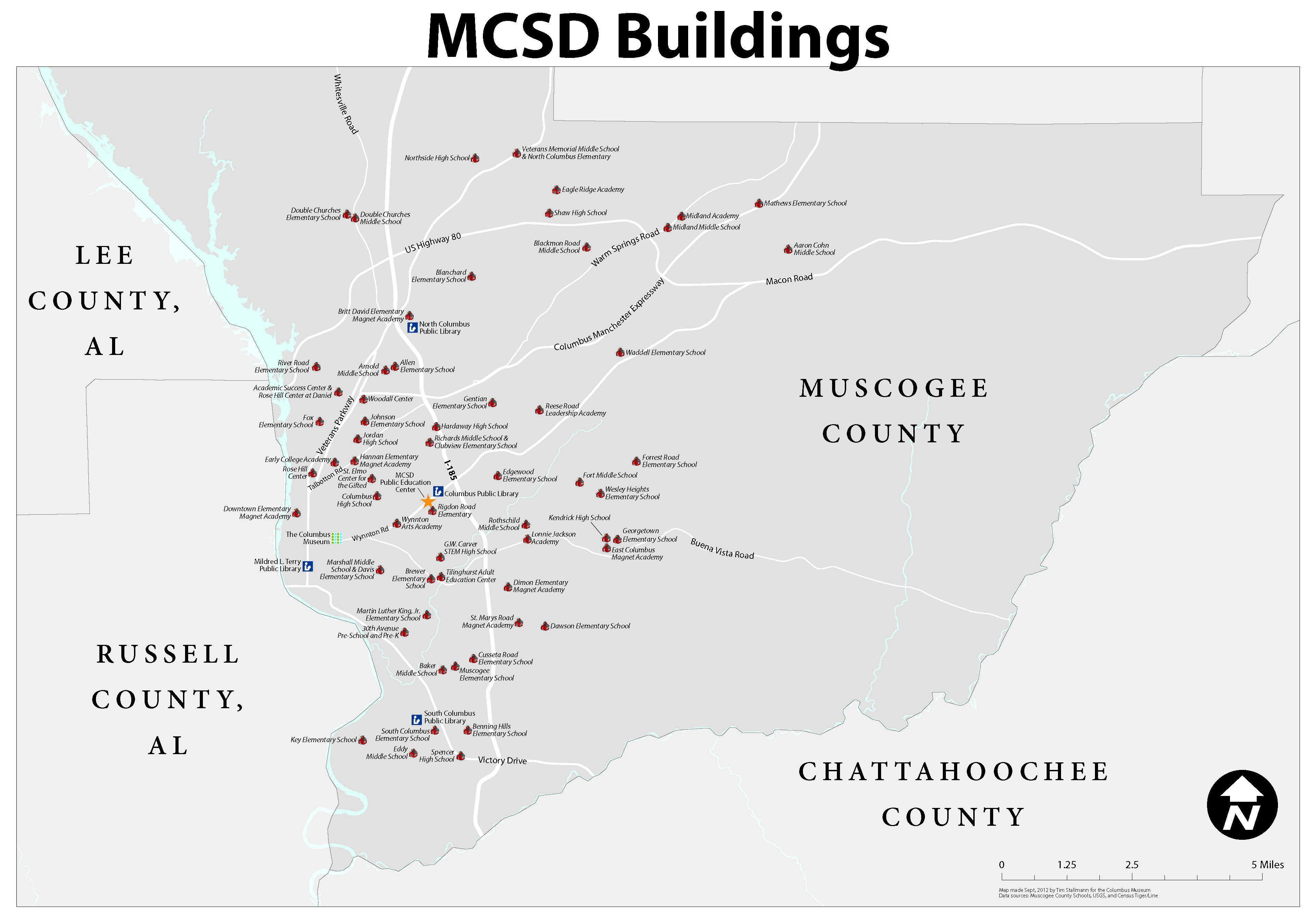
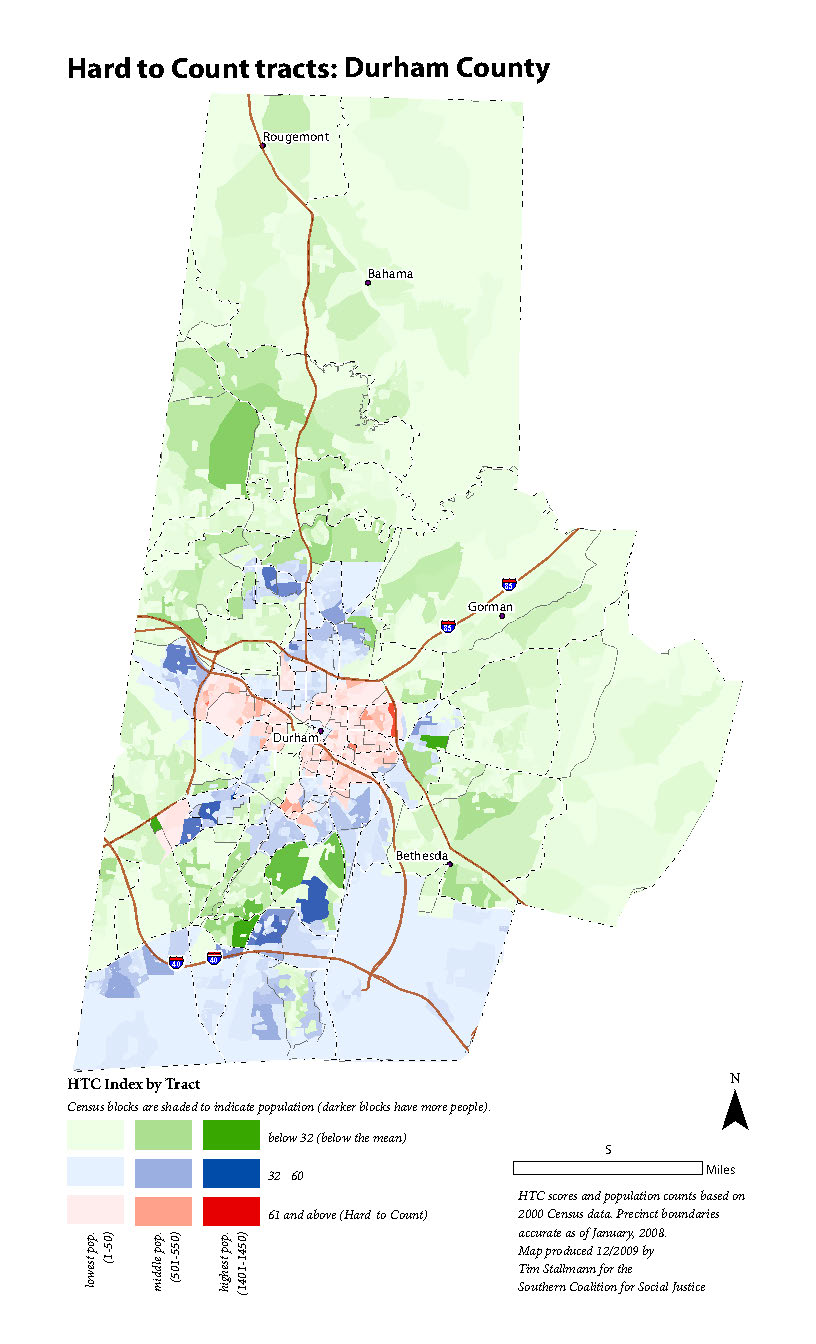
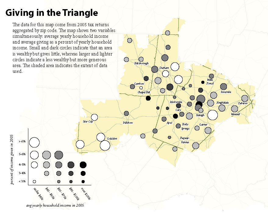
NYC Map for “Safe Space” (2012) This map is one of several produced for State of the South (2011) This is one of several maps I produced for MDC's 2011... School map for the Columbus Museum (2012) I produced this wall map of local schools for the... Census 2010 Outreach Maps (2009) In preparation for the 2010 Decennial Census, the... Giving in the Triangle (2007) The Program on Public Life at UNC-CH commissioned a... Concept Plan for Central West Chapel Hill (2013) I was hired by a citizens group to turn their design... Posts navigation Older posts
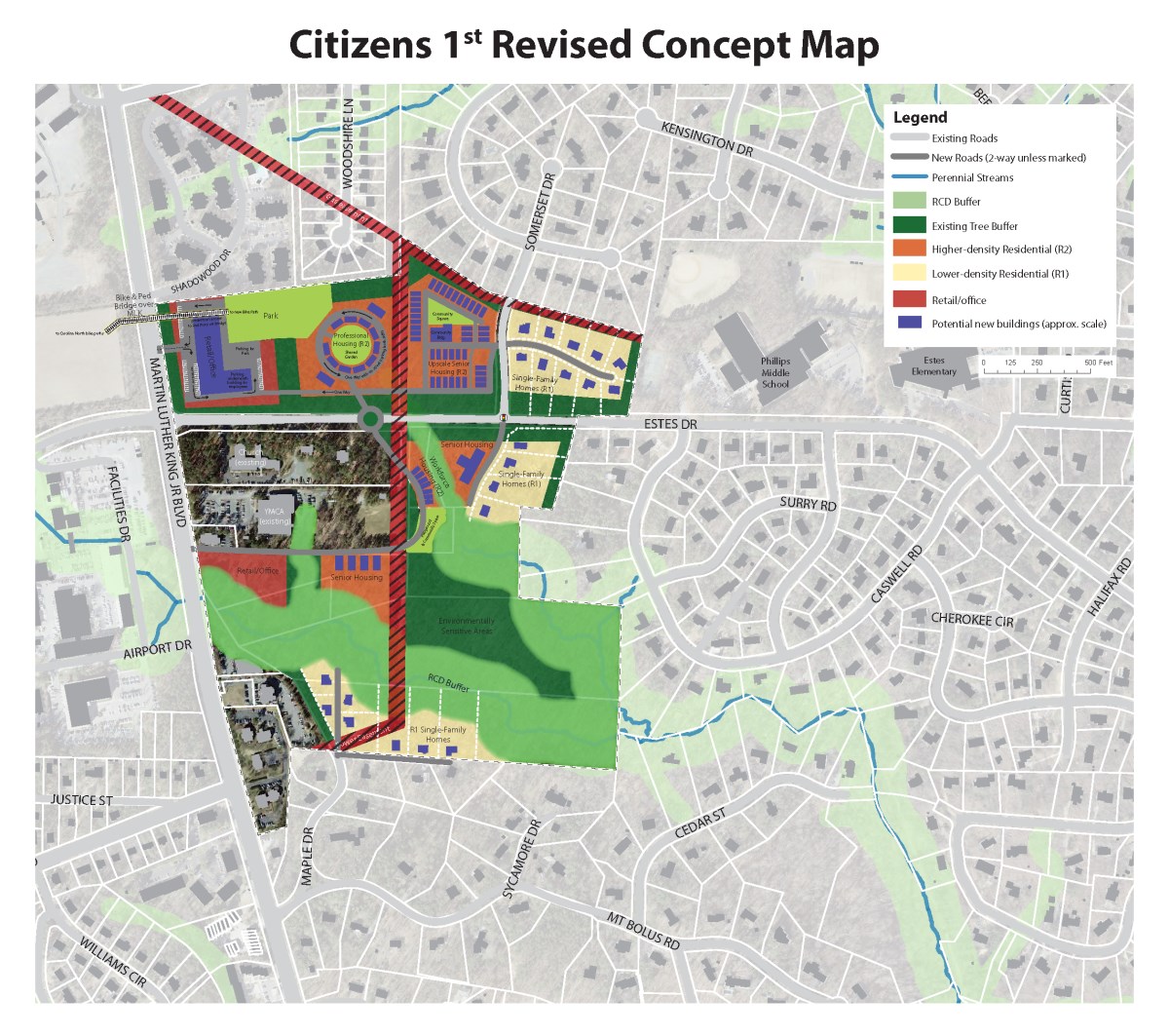
Concept Plan for Central West Chapel Hill (2013) I was hired by a citizens group to turn their design...